
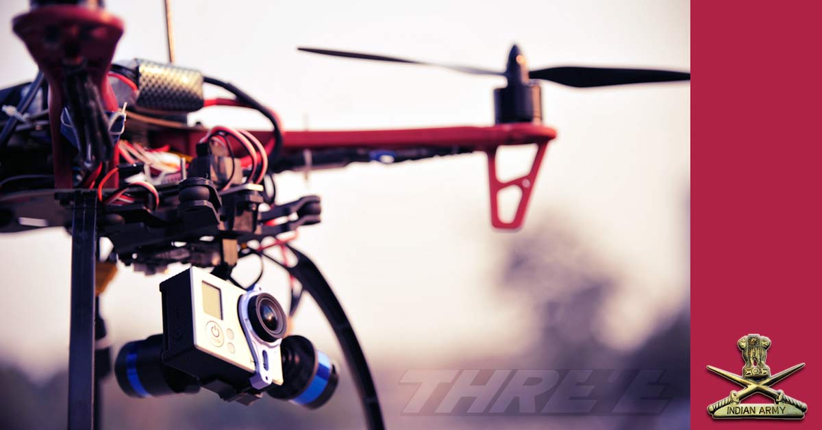
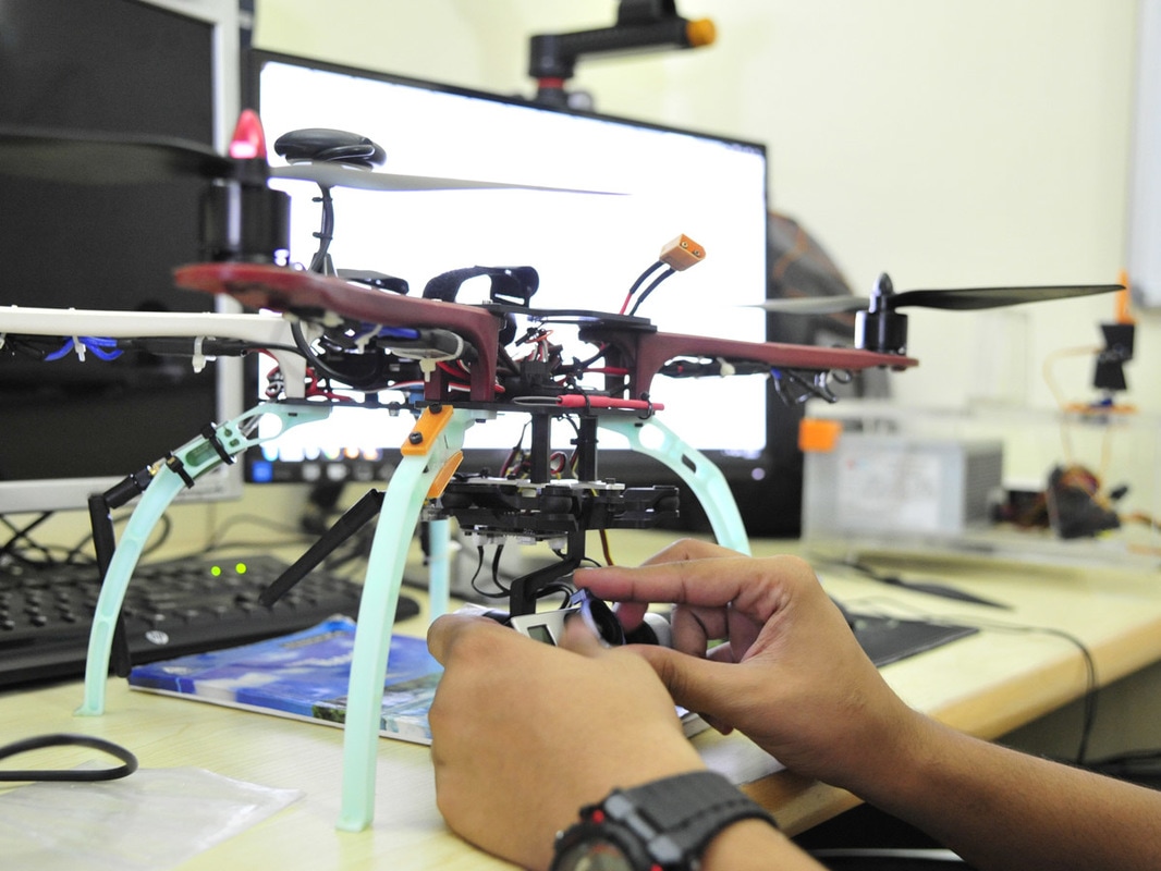
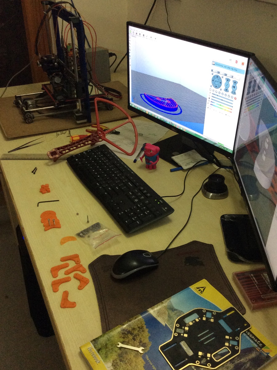
 This is a two part blog post. Part 1 talks about the background to the entire exercise, the Part 2 talks about the simulation exercise which was built on top of the entire Drone Op generated data. The background to this entire operation were our simulation activities that we were doing for Defence. Our past experience had mostly been with the Indian Air Force, and recently had also done some aviation simulation works for the Indian Navy. However when we demonstrated the same to the Army, the feedback given was ‘Well, all this simulation, terrain recreation etc is fine for aircrafts flying thousands of feet above the ground, but we need something which can give a soldier a feeling of if he has the boots on the ground’. This needed a very highly accurate ground mapping which required two elements – a digital elevation map (known as DEM) and ground texture. Now DEMs were available, but those in the public domain had extremely low resolutions, only suited for very high-altitude passes, like those available from NASA and Japan Space Systems. Higher resolution DEM imagery is either available only to military (including ISRO’s own DEM data – but we didn’t have access to that), or very expensive to buy for commercial use. Google earth (including Pro) pack – while allowed you to export imagery, it didn’t allow you to export the elevation, and even imagery had to be stamped with Google earth’s logo. And the resolution wasn’t good that we wanted anyway. The target that had been give to us for the textures resolution was – 10 cm per pixel. A massively ambitious target. But audacious goals only embolden us to achieve them. We decided, we’d get our DEM via an aerial survey. Choice of platformIn order to do an aerial DEM, we obviously needed an unmanned aerial system (UAS), or commonly known as – Drone. There were many choices and factors
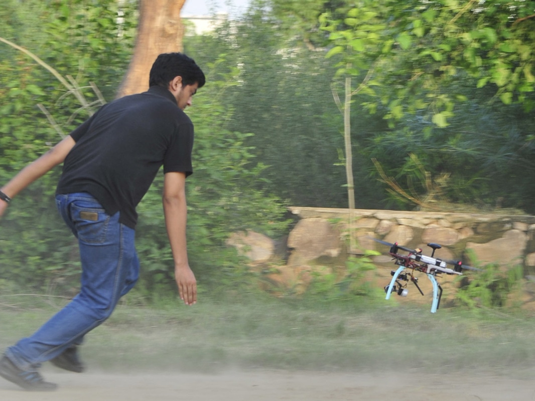
Learning to fly
|
Follow updates
Categories
All
Archives
February 2017
|
 RSS Feed
SIGN UP FOR OUR NEWSLETTER
|
GET OUR APPS
|
|
|
|
|
CONNECT WITH US
|
|
|
|
All rights reserved. Threye Interactive Pvt Ltd. 2021